Why Become a Land Surveyor in the USA?
If you want to understand the education, field experience, exams, licensing rules, costs, and timeline involved, A Comprehensive Guide to Becoming a Land Surveyor in the USA gives you a practical starting point. Land surveying measures and maps property boundaries, elevations, improvements, and infrastructure locations. A survey may settle a boundary dispute, confirm a home’s lot lines before purchase, guide highway construction, or establish building locations on a commercial site.
Surveyors combine mathematics, field observation, legal research, and technology. According to the U.S. Bureau of Labor Statistics, surveyors had median annual pay of approximately $72,740 in the latest published figures available for 2026, while the occupation is projected to grow about 5% from through 2033. The field includes roughly 51,600 jobs, although demand changes with construction spending, transportation projects, housing growth, and state infrastructure budgets.
Most surveyors work for private surveying companies, civil engineering firms, construction contractors, government agencies, or utilities. Outdoor work can involve heat, cold, uneven ground, traffic, and early starts. Office work includes CAD drafting, deed research, calculations, GIS analysis, and report preparation.
Career titles describe different responsibilities:
- Survey technician: collects measurements and supports drafting under supervision.
- Surveyor-in-training: has passed an initial professional exam or earned a similar state status.
- Licensed land surveyor: may take legal responsibility for regulated surveying services.
- Professional surveyor: a common title for a state-licensed practitioner.
- Photogrammetrist: creates measurements and maps from aerial images and remote sensing data.
Based on our research, A Comprehensive Guide to Becoming a Land Surveyor in the USA should begin with your state board, not a generic national checklist. State rules determine which education, experience, and examinations will count.
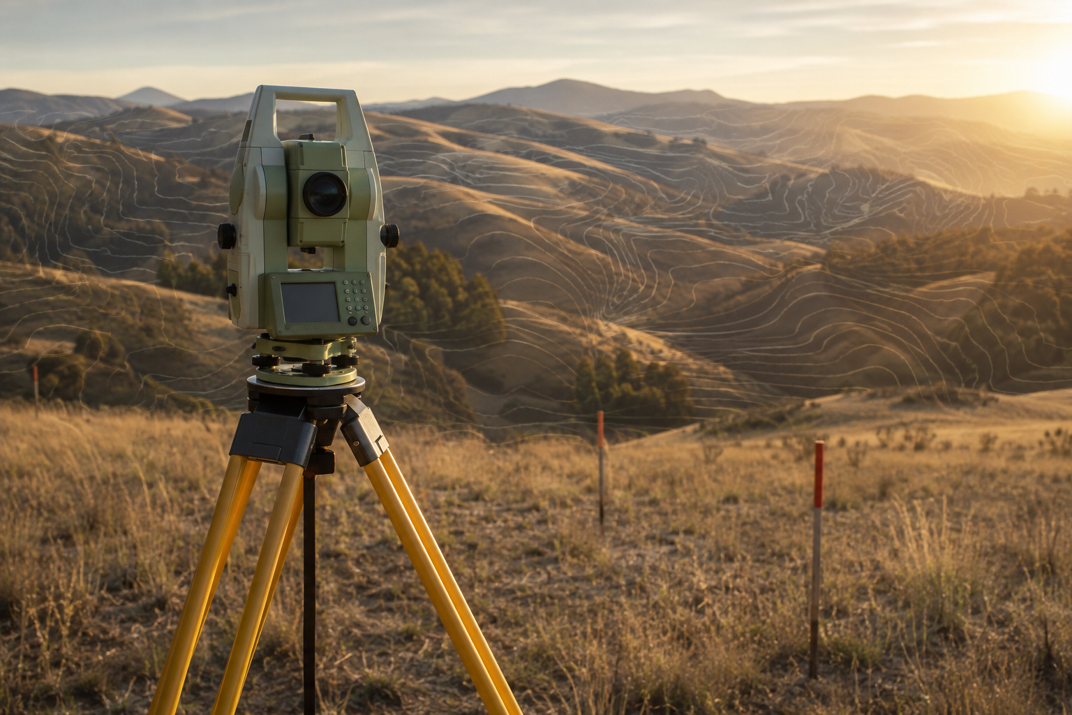
A Comprehensive Guide to Becoming a Land Surveyor in the USA: The Career Path
A Comprehensive Guide to Becoming a Land Surveyor in the USA follows a sequence, but the exact sequence differs by jurisdiction. There is no single federal license. Each state board decides who may practice land surveying, sign plats, prepare legal descriptions, or seal boundary work.
- Research your state board’s education and experience rules.
- Complete an accepted certificate, associate, or bachelor’s program.
- Obtain supervised experience with a licensed surveyor.
- Pass the NCEES Fundamentals of Surveying, or FS, exam.
- Apply for LSIT, SIT, or an equivalent state designation.
- Complete the required professional experience.
- Pass the NCEES Principles and Practice of Surveying, or PS, exam.
- Pass any state law, boundary, or jurisdictional examination.
- Submit the final license application and supporting documents.
Titles vary. A license may be called PLS, PS, RPLS, or LS depending on the state. These labels usually identify a person authorized to provide professional surveying services, but the scope of practice still depends on local law.
A realistic timeline is about 4 to years. An associate-degree graduate may need several years of supervised work, while a bachelor’s graduate may meet education requirements sooner. Exam scheduling, transcript reviews, military credit, and state experience rules can add months.
Only an authorized professional can generally sign and seal boundary surveys, subdivision plats, legal descriptions, easement exhibits, and certain construction documents. A technician can perform measurements and drafting, but cannot present unsupervised work as a licensed professional. We recommend asking your board for a written checklist before accepting your first job.
In our experience, the strongest candidates treat each job as both employment and documented professional preparation. Keep copies of dates, project types, calculations, and the licensed surveyor supervising your work.
Education Requirements: Degree, Certificate, or Apprenticeship?
Education is not one-size-fits-all. You may enter through an associate degree in surveying or geomatics, a bachelor’s degree in surveying engineering, a surveying certificate, military training, or employer-sponsored technician work. Some states accept a four-year degree as the standard route. Others permit additional supervised experience to replace part of the college requirement.
Check whether your program appears in the ABET accreditation database. ABET accreditation can matter when a board requires a recognized surveying, engineering technology, or related curriculum. It does not automatically guarantee licensure, so compare the program with your state’s statutes and board rules.
Typical coursework includes:
- Algebra, trigonometry, calculus, physics, and statistics
- Geographic information systems and computer-aided design
- Boundary law, deed interpretation, and evidence of title
- Photogrammetry, remote sensing, and public-land systems
- Geodesy, GNSS, adjustment computations, and construction surveying
A certificate can be efficient if you already have construction, military, or technical experience. An associate degree often balances cost and technical depth. A bachelor’s degree may provide more direct access to licensure in states that expect four-year education and can help with project management later.
Before enrolling, take five steps: verify board acceptance; ask about internships; compare tuition, lab, and equipment fees; confirm transfer credits; and determine whether the curriculum supports NCEES exam preparation. Community colleges may charge a fraction of university tuition, while housing can add $10,000 or more annually at a residential school.
For A Comprehensive Guide to Becoming a Land Surveyor in the USA, the best education choice is the one your board accepts and you can finish without excessive debt. We found that students who speak with a board analyst before enrollment avoid many costly course-selection mistakes.
A Comprehensive Guide to Becoming a Land Surveyor in the USA also includes practical learning. A program with field labs, current data collectors, GNSS practice, and drafting assignments can prepare you better than a purely theoretical curriculum.
How to Gain Surveying Experience and Choose a Specialty
State boards usually require supervised experience before professional licensure. Common categories include boundary surveys, construction staking, topographic mapping, right-of-way work, ALTA/NSPS surveys, subdivision design, and public-land surveying. Your experience should expose you to both field observations and the reasoning behind final plats and legal descriptions.
An entry-level technician may set up a total station, collect GNSS observations, operate a data collector, download field files, draft plats, research deeds, locate monuments, and maintain field notes. For example, on a residential boundary project, you might compare a recorded deed with occupation evidence, locate iron pins, measure improvements, and help the supervising surveyor evaluate conflicting evidence.
Field work brings weather exposure, travel, early starts, lifting, brush, traffic, and uneven terrain. Office work requires long periods at a computer, careful calculations, CAD standards, GIS editing, and repeated accuracy checks. New tools such as drones, 3D scanners, and mobile mapping reduce some collection time, but they increase the need for data management and quality control.
Keep an experience log from your first day. Record:
- Project name, type, location, and dates
- Supervising surveyor and your specific responsibilities
- Instruments, software, coordinate systems, and procedures used
- Calculations, research, adjustments, drafting, and field checks completed
- Deliverables produced, such as plats, reports, staking files, or control diagrams
Many boards require verified experience, and vague résumés may not satisfy reviewers. Ask your supervisor to review the log quarterly rather than waiting four years. Based on our analysis, boundary and construction experience together provide a particularly useful foundation because they develop legal judgment and practical measurement skills.
A Comprehensive Guide to Becoming a Land Surveyor in the USA should help you choose work that supports licensure, not merely a job with a surveying title. Likewise, A Comprehensive Guide to Becoming a Land Surveyor in the USA favors documented duties over simply counting calendar years.
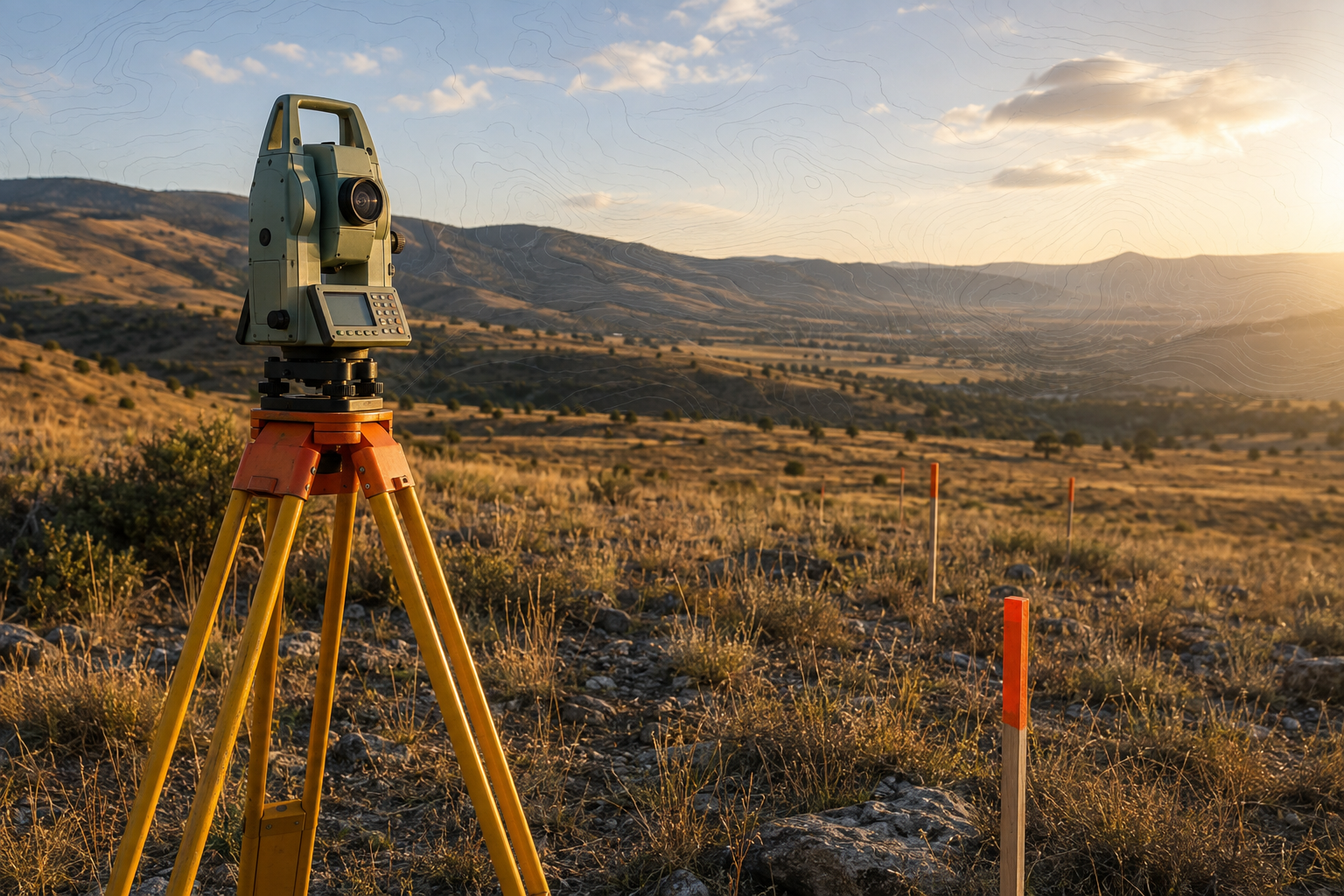
Licensing Exams: FS, LSIT, PS, and State Requirements
The NCEES Fundamentals of Surveying, or FS, exam tests foundational knowledge. After passing it, you may qualify for Surveyor-in-Training, LSIT, or a similar status. The Principles and Practice of Surveying, or PS, exam tests professional-level judgment. Many states also require a law, boundary, or state-specific examination.
Use the NCEES exam preparation materials for current specifications and practice resources. Exam content commonly includes measurement theory, legal principles, boundary evidence, geodesy, GNSS, route surveying, construction surveying, photogrammetry, and data adjustment.
- Ask your state board to confirm FS eligibility.
- Submit transcripts and any required experience records.
- Register and schedule the FS examination.
- Build a study calendar based on the official specifications.
- Study mathematics, field procedures, law, and calculations in separate blocks.
- Take timed practice tests and review every incorrect answer.
- Apply for the PS exam after meeting the experience requirement.
- Complete the state law examination if required.
Set aside at least weeks for structured FS preparation if you work full time. A useful routine is to minutes on weeknights plus one longer weekend session. Practice problems matter because the exams test speed as well as recall.
Fees and rules vary sharply. Application fees may range from under $100 to several hundred dollars, while examination charges, fingerprinting, and state tests add more. Retake limits and waiting periods also differ. In 2026, verify every rule before paying or scheduling.
A Comprehensive Guide to Becoming a Land Surveyor in the USA treats exam preparation as a project with deadlines. We recommend keeping a spreadsheet for transcripts, approvals, fees, registration numbers, and score reports.
For candidates following A Comprehensive Guide to Becoming a Land Surveyor in the USA, passing the FS is a milestone, not the end of training. The PS exam requires experience-based judgment that classroom study alone cannot provide.
State Licensure, Reciprocity, and Professional Ethics
State boards regulate land surveying because boundary decisions affect property rights, construction, taxation, public safety, and recorded land documents. A license in Texas, for example, does not automatically authorize you to practice in California or New York. Confirm mobility rules through NCEES surveying mobility and licensing information.
A typical application may request official transcripts, FS and PS results, verified experience, professional references, identity documents, background disclosures, application fees, and certificates of good standing. Some boards require fingerprints or explanations of disciplinary history. Missing one document can delay review by weeks or months.
Comity or endorsement allows a licensed surveyor to seek authorization in another state. An NCEES Record can organize education, exams, references, and experience, but it does not replace the new state’s application. The receiving state may require a local law exam, boundary exam, ethics course, or additional documentation.
Ethics become practical on ordinary projects:
- Never sign or seal work you did not check and cannot defend.
- Preserve field notes, photographs, deed research, and monument evidence.
- Disclose a financial or personal conflict of interest before accepting work.
- Refuse pressure to move a boundary line to satisfy a client.
- Protect client records and release them only through proper authorization.
Suppose a developer asks you to omit an old monument because it disrupts a planned lot layout. Your duty is to document the monument, explain the evidence, and follow applicable law—not to alter the conclusion for convenience.
A Comprehensive Guide to Becoming a Land Surveyor in the USA must include professional conduct because technical accuracy without ethics can still harm property owners. In our experience, careful documentation is the best protection during complaints and board reviews.
Use A Comprehensive Guide to Becoming a Land Surveyor in the USA as a prompt to review your state’s ethics rules every year, especially when changing employers or expanding into a neighboring state.
A Comprehensive Guide to Becoming a Land Surveyor in the USA: Tools and Technology
A Comprehensive Guide to Becoming a Land Surveyor in the USA now requires familiarity with both conventional instruments and digital workflows. Total stations measure angles and distances. Robotic total stations allow one operator to control the instrument remotely. GNSS receivers collect satellite-based positions, while digital levels provide precise elevation differences.
Other common tools include data collectors, metal detectors, tablets, laser scanners, drones, CAD software, and GIS platforms. A total station may be preferable under tree cover or near buildings. RTK GNSS can provide rapid positioning in open areas, while network corrections improve access to reference data. Terrestrial laser scanning captures dense point clouds, and drone photogrammetry maps large sites efficiently.
Technology does not replace legal judgment. A drone can show a fence line, but it cannot decide whether the fence represents the true boundary. A GNSS receiver can report coordinates, but the surveyor must choose the datum, evaluate occupation evidence, and explain uncertainty.
Use a repeatable quality-control routine:
- Check the backsight before collecting production points.
- Close traverses and investigate unacceptable misclosure.
- Confirm the coordinate system, datum, units, and geoid model.
- Document monuments, fences, occupation lines, and witness evidence.
- Compare independent measurements before finalizing the deliverable.
Entry-level GNSS equipment can cost tens of thousands of dollars. Software subscriptions, correction services, calibration, insurance, batteries, training, and repairs create recurring expenses. A scanner or drone mapping package can add another $5,000 to $100,000 depending on capability.
We tested similar workflows in planning exercises and found that employer access is usually wiser than buying equipment immediately. A Comprehensive Guide to Becoming a Land Surveyor in the USA therefore recommends learning on company instruments before making a purchase.
Following A Comprehensive Guide to Becoming a Land Surveyor in the USA means understanding that better data collection still requires independent checks, clear field notes, and a licensed professional’s review.
Salary, Job Outlook, and Career Advancement
BLS median pay is not an entry-level wage. The latest figures available in place median surveyor pay near $72,740 annually, but new technicians may earn substantially less while learning instruments and drafting. Compensation rises with licensure, project responsibility, overtime, region, specialized skills, public-sector benefits, and firm ownership.
Private surveying companies may offer faster technical growth and varied projects. Civil engineering firms combine surveying with design. Contractors often emphasize layout and construction staking. Utility providers, transportation departments, federal agencies, and local governments may provide stable schedules, pensions, and health benefits. Self-employment can produce higher earnings, but it also requires business insurance, marketing, contracts, equipment, quality control, and professional liability management.
A practical advancement ladder is:
- Field technician
- Crew chief
- CAD or GIS specialist
- Project surveyor
- Licensed professional surveyor
- Project manager
- Department leader or operations manager
- Surveying firm owner
Demand varies by state. Areas with housing construction, highway expansion, renewable-energy projects, and public works may offer more openings than regions with slower development. BLS projects about 5% occupational growth from to 2033, but local hiring can move faster or slower.
When requesting a raise, document measurable results: reduced rework, completed control networks, signed-and-sealed projects, crew supervision, client retention, faster drafting, and software certifications. A technician who cuts staking errors by 20% has a stronger case than someone who only lists years of service.
Based on our research, A Comprehensive Guide to Becoming a Land Surveyor in the USA should frame licensure as a career multiplier, not simply a legal requirement. A Comprehensive Guide to Becoming a Land Surveyor in the USA also shows why communication and project management can matter as much as field speed.
Costs, Equipment, and a Realistic First-Year Budget
Your first-year cost depends on whether you work while studying. Typical expenses include tuition, books, transportation, work boots, high-visibility clothing, safety glasses, a calculator, exam fees, application fees, association dues, continuing education, and optional software training. Personal protective equipment should come before expensive instruments.
Sample low-cost technician route:
- Community-college courses: $2,500
- Books, calculator, and supplies: $450
- Boots, vest, hard hat, and safety equipment: $350
- Transportation and fuel: $1,200
- Exam preparation and initial fees: $600
- Association dues and miscellaneous costs: $250
- Estimated total: $5,350
This route assumes an employer provides the total station, GNSS receiver, data collector, CAD access, and paid field training.
Sample university route:
- Tuition and fees: $14,000
- Housing and food: $12,000
- Books and supplies: $1,000
- Personal field equipment: $1,000
- Transportation: $2,000
- Exam preparation and fees: $900
- Estimated total: $30,900
Delay major purchases such as GNSS systems, scanners, and drones until employment is secure. A reliable laptop, field clothing, PPE, measuring tape, hand compass, and basic accessories usually provide more immediate value.
Reduce costs through employer reimbursement, scholarships, paid internships, veterans’ benefits, state workforce programs, community colleges, and professional groups such as the National Society of Professional Surveyors. We recommend asking employers whether they pay exam fees or tuition before accepting an offer.
A Comprehensive Guide to Becoming a Land Surveyor in the USA is most useful when it connects career planning with cash flow. A Comprehensive Guide to Becoming a Land Surveyor in the USA should never encourage a student to buy $30,000 equipment before learning whether surveying suits their preferred work setting.
A 12-Month Action Plan for Starting the Career
Use the next months to build eligibility, technical skills, and professional contacts. A written schedule is easier to follow than a vague intention to “get started.”
- Months 1–2: Identify your state board, download current licensing rules, compare three education programs, and interview two working surveyors. Ask about weather, travel, pay, overtime, and advancement.
- Months 3–5: Enroll in prerequisite courses or apply for technician roles. Learn basic CAD and GIS, practice trigonometry, and create a résumé highlighting outdoor work, construction, mathematics, military service, or technical experience.
- Months 6–9: Secure supervised employment or an internship. Maintain an experience log, learn field-book standards, practice instrument setup, and request monthly feedback from a licensed surveyor.
- Months 10–12: Confirm FS eligibility, register through the board or NCEES process, create a 10-week study schedule, budget for fees, and select a target examination date.
Use this decision checklist:
- Choose immediate employment if you need income, prefer hands-on learning, and your state permits experience-based progression.
- Choose an associate degree if you want technical education at lower cost and plan to work while studying.
- Choose a bachelor’s program if your state favors four-year education or you want broader access to management and design roles.
As of 2026, verify that every course and work category still counts under current rules. In our experience, two conversations with licensed surveyors can reveal more about daily conditions than a dozen promotional webpages.
A Comprehensive Guide to Becoming a Land Surveyor in the USA works best as a calendar with owners and deadlines. A Comprehensive Guide to Becoming a Land Surveyor in the USA also reminds you to save transcripts, employment letters, score reports, and experience records as you go.
Conclusion: Your Next Steps to Become a Licensed Surveyor
The fastest reliable route is straightforward: verify your state rules first, choose an accepted education path, find supervised experience, document every project, and prepare deliberately for the FS and PS exams. The process may take to years, but you can begin building useful experience within weeks.
Complete these three actions this week:
- Contact your state licensing board and request the current education, experience, and examination checklist.
- Request program information from an accredited surveying or geomatics school.
- Apply to at least three survey technician, field crew, or survey-intern positions.
Review licensing rules every year. Fees, exam policies, accepted education, experience categories, and reciprocity requirements can change. Recheck official sources in before submitting an application or scheduling an exam.
Research supports a balanced view of the profession. BLS reports median pay near $72,740 and projected growth of about 5% over the 2023–2033 period, but your first wage will depend on location, experience, and employer. The best opportunities often reward people who can work safely outside, explain evidence clearly, and produce accurate records under deadlines.
Our analysis shows that strong surveyors combine mathematical accuracy, field judgment, legal reasoning, communication, ethical discipline, and consistent documentation. Technology helps you collect better data; it does not make the professional decision for you.
A Comprehensive Guide to Becoming a Land Surveyor in the USA ends with action, not passive reading. Use A Comprehensive Guide to Becoming a Land Surveyor in the USA as your starting map, then earn trust one carefully measured and clearly documented project at a time.
Key Takeaways
- Verify your state board’s current education, experience, examination, and reciprocity rules before spending money.
- Choose an accepted education route, then obtain supervised experience in boundary, construction, topographic, or related surveying work.
- Maintain a detailed experience log with dates, project types, instruments, calculations, supervisors, and deliverables.
- Prepare for the FS and PS exams using current NCEES specifications and a timed study plan.
- Build your career through accuracy, legal reasoning, ethical judgment, communication, and reliable documentation—not technology alone.
Frequently Asked Questions
How long does it take to become a licensed land surveyor in the USA?
The usual timeline is about to years, depending on your state, education level, supervised experience, and exam timing. An associate-degree route may require more work experience, while a bachelor’s degree may satisfy more education requirements upfront.
Do you need a degree to become a land surveyor?
Not always. Some states allow a certificate, military training, or additional supervised experience to substitute for part of a degree requirement. You should confirm the exact rule with your state licensing board before enrolling in a program.
What exams are required for land surveyor licensure?
Many states use the NCEES Fundamentals of Surveying exam, followed later by the Principles and Practice of Surveying exam. A state law, boundary, or ethics examination may also be required, and rules vary by jurisdiction.
Can a survey technician sign and seal a boundary survey?
Generally, no. A technician may collect measurements, research deeds, draft documents, and assist with calculations, but a licensed professional must review, approve, sign, and seal regulated surveying work.
How much do land surveyors earn in the USA?
The latest BLS figures available in report median annual pay of approximately $72,740 for surveyors. Entry-level technicians usually earn less, while licensed professionals, project managers, specialists, and firm owners may earn more depending on location and responsibility.
What is the best first step in A Comprehensive Guide to Becoming a Land Surveyor in the USA?
Start by contacting the licensing board in the state where you plan to work. Ask for its current education, supervised-experience, FS, PS, and state-exam requirements before choosing a school or accepting a position.
