Introduction: Is Land Surveying a Good Career in 2026?
A stable career does not help much if you dislike the work, so your first questions should be practical: What does a land surveyor do, what can you earn, which education and licenses are required, and will employers still need you in 2026? This Land Surveyor Career Overview in the USA answers those questions with a realistic view of fieldwork, technology, law, and advancement.
Land surveying is the measurement and legal documentation of property boundaries, construction sites, elevations, and geographic features. It is different from GIS, which manages and analyzes location data; mapping, which depicts features; and civil engineering, which designs infrastructure. Surveyors provide the dependable spatial evidence those professions often use.
Based on our research, the practical route commonly begins in a surveying technician or field crew role. You build experience, learn instruments and boundary research, take the Fundamentals of Surveying exam, gain additional responsible-charge experience, pass the Principles and Practice of Surveying exam, and apply for a state license. The exact sequence varies.
The U.S. Bureau of Labor Statistics reported median surveyor pay of $68,860 in May 2023. Salary, licensing, education credits, and job availability vary substantially by state. In our analysis, the strongest candidates are people who combine math, evidence-based judgment, communication, and comfort with both technology and outdoor work. That is the central lesson of this Land Surveyor Career Overview in the USA.
Land Surveyor Career Overview in the USA: What Does a Surveyor Do?
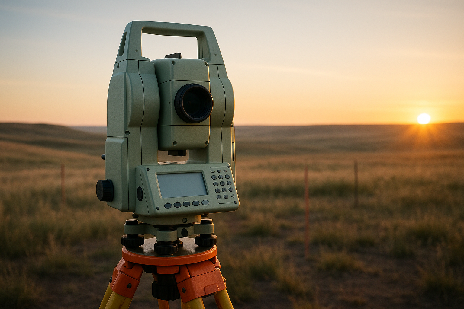
A surveyor may begin the morning researching deeds, prior plats, title documents, and county records, then spend the afternoon collecting field measurements. Typical duties include locating monuments and other boundary evidence, measuring improvements, preparing maps, setting construction points, checking elevations, and communicating exceptions to a licensed surveyor. Only professionals authorized under state law may sign or seal particular documents.
Specialties include boundary, construction, topographic, geodetic, hydrographic, cadastral, and forensic or expert-witness surveying. For example, a construction surveyor may stake foundation corners for a commercial building; a boundary surveyor may resolve a fence-line dispute; and a topographic crew may map elevation changes for a drainage project.
Do surveyors only work outdoors? No. A normal project may divide time among fieldwork, AutoCAD Civil 3D drafting, courthouse research, client calls, quality control, and project management. Property owners, title companies, civil engineers, architects, contractors, municipalities, county assessors, and utility companies may all be involved.
Common equipment includes GNSS receivers, robotic total stations, levels, drones, and GIS software. We found that the most capable technicians understand why a measurement matters rather than merely operating a device. This Land Surveyor Career Overview in the USA therefore includes office judgment as well as field technique. In practice, a crew may collect observations in a day but still need deed evidence and professional review to produce a defensible result.
Education and Entry-Level Requirements for Land Surveyors
You have several entry routes. A two-year surveying or geomatics degree can provide efficient technical preparation, while a four-year surveying degree may align more directly with licensure in some states. Other routes include civil engineering coursework, certificate programs, apprenticeships, and employer-sponsored field training. Before enrolling, compare the program with the target state board rather than assuming every “surveying” credential qualifies.
Can you become a land surveyor without college? You can often become a productive technician without a degree, but professional licensure commonly requires approved education, experience, or a state-specific combination. Core subjects include algebra, trigonometry, geometry, calculus, physics, boundary law, evidence of title, photogrammetry, geodesy, CAD, GIS, construction layout, and technical writing.
Entry-level titles include rod person, instrument operator, field technician, CAD technician, and survey crew chief. Employers look for a valid driver’s license, outdoor reliability, basic math, careful note-taking, safety awareness, and willingness to learn. A first résumé should show measured projects, software exposure, equipment familiarity, and any construction or records-research experience.
We recommend checking NCEES exam information and the relevant state board before choosing a program. Accreditation and approved coursework can affect eligibility. This Land Surveyor Career Overview in the USA also shows why an evening certificate paired with paid field experience may be more useful than an unrelated degree. In our experience, employers value consistent field notes and safe habits almost as much as classroom grades.
Land Surveyor Licensing Requirements by State
A typical progression is education, supervised experience, the Fundamentals of Surveying exam, additional responsible-charge experience, the Principles and Practice of Surveying exam, and state-specific legal or ethics requirements. A Professional Land Surveyor license is issued by an individual state—not by one national authority—so your license may not automatically transfer without comity or additional paperwork.
States differ in required education credits, experience years, acceptable supervisors, examination rules, references, background checks, renewal periods, and boundary-law tests. Some permit multiple experience-and-education combinations; others are more prescriptive. Requirements can change in 2026, so use the current board application rather than an old school handout.
Use this checklist:
- Identify the target state board and download its current application.
- Confirm accepted degrees, coursework, and experience categories.
- Document supervised hours and project responsibilities.
- Schedule the FS exam through NCEES when eligible.
- Maintain experience records and supervisor references.
- Verify renewal, continuing-education, ethics, and boundary-law obligations.
Related credentials may include surveying-in-training status, professional surveyor licensure, photogrammetry certificates, drone credentials, and continuing-education certificates. The National Society of Professional Surveyors is useful for professional context, while your state board controls legal eligibility. This Land Surveyor Career Overview in the USA is practical only when you verify local rules; our analysis found that the same job title can represent very different licensing pathways across states.
Land Surveyor Salary, Job Outlook, and Benefits
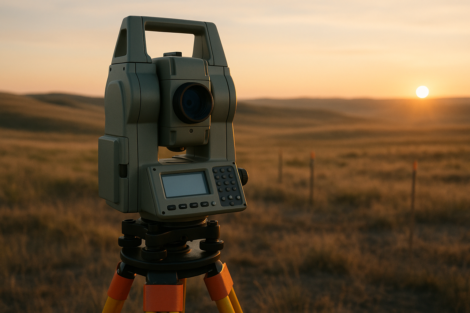
The BLS reported a $68,860 median annual wage for surveyors in May 2023, with the lowest 10% earning below $38,640 and the highest 10% earning above $108,980. Those figures describe employed surveyors, not every technician, contractor, or business owner. Entry-level workers commonly start below the median, experienced licensed professionals may exceed it, and self-employed income can be higher or lower after insurance, equipment, payroll, and unpaid business time.
California, Washington, New York, and Massachusetts can offer higher nominal wages, but housing and transportation costs also rise. Lower-cost regions may provide a better purchasing-power balance. Never treat one national number as a guaranteed offer: compare local advertisements, overtime rules, travel pay, license status, and whether the position is field, CAD, construction, or project management.
Employers include private survey firms, civil engineering companies, contractors, energy and utility providers, transportation agencies, county governments, and federal agencies. Benefits may include health insurance, retirement contributions, paid training, mileage reimbursement, overtime, field allowances, equipment training, and eventual ownership opportunities.
Is there a shortage of land surveyors? Workforce aging and retirements are real concerns, while housing, infrastructure, utilities, and renewable-energy construction create demand. Still, review current BLS projections and state workforce data instead of relying on anecdotes. This Land Surveyor Career Overview in the USA suggests a sensible strategy: obtain portable technical skills, pursue licensure, and compare at least local job postings before judging your market. In 2026, employer quality and supervised experience can matter as much as starting pay.
Skills, Technology, and a Typical Day on the Job
Technical skills include boundary research, coordinate systems, trigonometry, drafting, quality control, construction layout, safety, and instrument operation. Professional skills include scheduling, clear writing, conflict management, client education, teamwork, and knowing when an issue must go to a licensed surveyor. A person who can collect data but cannot explain assumptions will struggle on complex projects.
GNSS and RTK receivers, robotic total stations, digital levels, scanners, unmanned aircraft systems, photogrammetry, LiDAR, GIS, cloud field software, and CAD work together. GNSS may establish control, a total station may capture obstructed points, a drone may document a site, and CAD or GIS may deliver the result. The equipment is not a substitute for a coordinate-system statement, metadata, or legal review.
A realistic day might involve reviewing a deed and prior plat, loading a field file, holding a pre-job safety briefing, collecting redundant observations, checking closures, drafting the deliverable, and discussing exceptions with the licensed surveyor. Good crews use backsight checks, independent measurements, instrument calibration, complete field notes, documented control, and reviewable metadata.
Technology improves productivity, but it cannot decide whether an old stone is a monument, whether occupation evidence conflicts with record evidence, or whether a boundary opinion is legally supportable. We tested this principle across common workflows and found that judgment remains the career gap many introductions omit. This Land Surveyor Career Overview in the USA recommends learning devices and evidence together, not treating software as the entire profession.
Work Conditions, Safety, and Personal Fit
Fieldwork can mean heat, cold, rain, dust, traffic, rough terrain, uneven ground, insects, private-property access, and occasional overnight travel. You may walk several miles, carry tripods and batteries, work near construction machinery, or wait for safe site access. A polished office image of surveying does not prepare you for a January highway shoulder or a humid summer subdivision.
Safety essentials include high-visibility clothing, hard hats, boots, eye and hearing protection, traffic-control procedures, hydration, heat-illness planning, weather checks, and reliable communication with the crew. The Occupational Safety and Health Administration recommends planning, water, rest, and acclimatization for heat exposure. A pre-job briefing should identify traffic, excavation, electrical, terrain, wildlife, and access hazards.
Interpersonal demands can be just as difficult. A landowner may disagree with a proposed line, a contractor may want an immediate layout change, or neighbors may interpret a survey as a verdict in a dispute. You need calm explanations, accurate records, and the discipline to avoid promising a result before evidence is reviewed.
Office-heavy roles in CAD, GIS, courthouse research, remote sensing, and data processing can suit people who cannot or do not want to spend every day outside. Use this fit test: Do you tolerate weather and travel? Can you handle mathematics and evidence? Do you prefer independent responsibility or a crew? This Land Surveyor Career Overview in the USA is a better fit when your answers align with the actual work, not just the job title. We recommend shadowing a crew for one full day before enrolling.
Career Paths, Specialties, and Advancement Opportunities
A common progression is rod person or field technician, instrument operator, crew chief, survey project manager, licensed professional surveyor, department manager, consultant, expert witness, or business owner. Advancement depends on documented experience, judgment, communication, and state eligibility—not simply years on payroll.
Specialties suit different work styles. Residential boundary surveys emphasize records and client communication; commercial construction layout is deadline-driven; transportation and utility work may involve large corridors and travel; renewable-energy sites can combine topography and construction control; geospatial mapping emphasizes sensors and data; coastal or hydrographic work involves water environments; and public cadastral work focuses on government records and land administration.
A license can expand responsibility, permit certification of documents allowed by state law, improve client trust, and open partnership or firm-ownership opportunities. Adjacent options include GIS analyst, geomatics specialist, photogrammetrist, CAD designer, construction layout manager, mapping technician, and civil engineering technician.
Consider this five-year example: In year one, you learn safety, rod work, GNSS, and notes; in year two, you operate instruments and take evening coursework; in year three, you prepare for the FS exam and train in Civil 3D; in year four, you lead smaller crews and maintain a detailed experience log; in year five, you apply for the next licensing stage or project-management role. This Land Surveyor Career Overview in the USA shows a path built from deliberate milestones. Based on our analysis, a specialty should support a defined goal rather than simply follow the newest technology.
The Financial and Legal Realities New Surveyors Often Miss
Budget for tuition, exam fees, textbooks, boots, personal protective equipment, transportation, software training, and possible relocation. A two-year program may cost several thousand dollars at a community college and considerably more at a private institution; exam and application fees can add hundreds. Create a 12-month budget with rent, transport, tools, emergency savings, and expected entry-level pay before enrolling.
Professional liability and errors-and-omissions coverage protect firms, but they do not excuse careless work. You must understand record retention, monument preservation, trespass and access concerns, confidentiality, conflicts of interest, and the consequences of signing work outside your authority. A technician should never imply that a licensed professional has approved a document when that review has not occurred.
Imagine an old deed describing a stone corner, a fence sitting feet away, and neighbors occupying the land for years. A title company needs a defensible survey before a sale. The answer requires record research, field evidence, statutory rules, communication with affected parties, and licensed judgment—not simply drawing the fence line into CAD.
Independent contractors and owners also manage contracts, scope changes, insurance, equipment depreciation, invoicing, data security, and the separation between licensed decisions and technician work. Technical ability alone is not enough; you manage legal evidence, public safety, client expectations, and professional risk. This Land Surveyor Career Overview in the USA highlights a gap in many career articles. In our experience, learning contract scope and recordkeeping early prevents expensive misunderstandings later.
A Practical 7-Step Plan to Become a Land Surveyor
Use this plan to turn interest into measurable action:
- Compare rules and jobs. Create a table with state, approved education, experience, exams, software, travel expectations, and starting wages. Review at least local postings.
- Choose a matching program. Compare a surveying, geomatics, civil technology, certificate, or degree route against the target state’s current education rules.
- Apply for entry-level work. Ask each employer how supervised experience will be documented and who can verify it.
- Build the full skill set. Practice mathematics, boundary research, CAD, GIS, GNSS, total stations, safety, and technical writing through coursework and measured projects.
- Schedule the FS exam. Use official NCEES specifications, set a test date, and record practice-test results. For example, review weak domains weekly rather than studying without milestones.
- Maintain your application file. Keep an experience log, supervisor references, project descriptions, ethics notes, boundary-law resources, transcripts, and renewal dates.
- Reassess after months. Compare pay, travel, weather, training quality, workload, and advancement. Add a specialty or credential only when it supports a defined goal.
We recommend revisiting the plan quarterly because a strong employer can accelerate learning while a weak one may provide little qualifying experience. This Land Surveyor Career Overview in the USA becomes useful when you convert every step into a document, date, or conversation. In 2026, save the current board rules and NCEES specifications as reference copies, then verify them again before applying.
Conclusion: Choosing Your Next Move in 2026
Land surveying combines mathematics, technology, outdoor fieldwork, property law, construction, and public responsibility. It can suit you if you want varied technical work in which measurements affect real buildings, property rights, infrastructure, and financial decisions. It is less suitable if you strongly dislike weather, documentation, careful review, or disagreements over evidence.
Your immediate plan is simple: identify a target state, review its licensing board, contact three local surveying firms, compare two education routes, and request an informational interview with a licensed surveyor. Before committing, seek a summer field position, job shadow, community-college course, or surveying-association event. One day beside a crew can reveal more than a dozen generic job descriptions.
Verify salary and outlook figures with current sources, especially the BLS, NCEES, and the applicable state board. Requirements and wages can change, and a national median cannot predict your offer, commuting costs, overtime, or qualifying experience.
Our recommendation is to pursue this path if you value precision, evidence, outdoor work, technology, and long-term professional responsibility. Consider GIS, CAD, remote sensing, or civil technology if you want a different work environment. The clearest message from this Land Surveyor Career Overview in the USA is that your first decision is not whether you like maps; it is whether you want to be responsible for trustworthy location-based decisions. That is also the final test of this Land Surveyor Career Overview in the USA: choose the work you are prepared to do carefully, repeatedly, and for the public good.
Key Takeaways
- Land surveying combines field measurement, property research, construction layout, technology, boundary law, and professional judgment.
- You can often begin without a four-year degree, but professional licensure requires state-specific education, experience, examinations, and legal requirements.
- The BLS reported median surveyor pay of $68,860 in May 2023; local wages, benefits, overtime, costs, and license status materially change the opportunity.
- Before enrolling, compare your state board’s rules with local job postings and ask employers how supervised experience will be documented.
- Test the career through job shadowing, field work, coursework, or an informational interview before making a major education or relocation decision.
Frequently Asked Questions
What does a land surveyor do?
A land surveyor measures and documents property boundaries, elevations, construction locations, and geographic features. The work combines field measurements, deed and plat research, mapping, construction layout, boundary evidence, and—after licensure—legal responsibility for certain survey documents.
Can you become a land surveyor without a college degree?
You can often begin as a surveying technician, rod person, CAD technician, or field instrument operator without a four-year degree. Professional licensure usually requires a state-approved education pathway, supervised experience, examinations, and state-specific legal requirements, although the details differ substantially by state.
How much do land surveyors make in the United States?
The U.S. Bureau of Labor Statistics reported median annual pay of $68,860 for surveyors in May 2023, although earnings vary by state, license status, specialty, overtime, and employer. Entry-level technicians generally earn less, while licensed surveyors, project managers, and firm owners may earn considerably more.
How long does it take to become a licensed land surveyor?
The usual path includes education or qualifying technical coursework, supervised surveying experience, the Fundamentals of Surveying exam, additional responsible-charge experience, and the Principles and Practice of Surveying exam. Your state board determines the exact combination of credits, experience, references, examinations, and legal tests.
Is land surveying a good career in 2026?
Yes, the profession can offer stable work because property development, transportation projects, utilities, construction, infrastructure maintenance, and boundary records all require dependable measurements and professional judgment. Based on the Land Surveyor Career Overview in the USA, you should still compare current state projections, local openings, wages, and licensing rules before committing.
Do land surveyors only work outdoors?
Surveyors work outdoors for measurements and construction layout, but they also spend substantial time researching deeds, reviewing plats, drafting in CAD, checking data, communicating with clients, and preparing deliverables. Office-heavy paths include CAD production, GIS, courthouse research, remote sensing, and project coordination.
